From PIXELS ANALYSIS
to INTELLIGENT CALCULATION of
STATISTICS
GEOCS - Gate of Earth Observation for Calculate Statistics
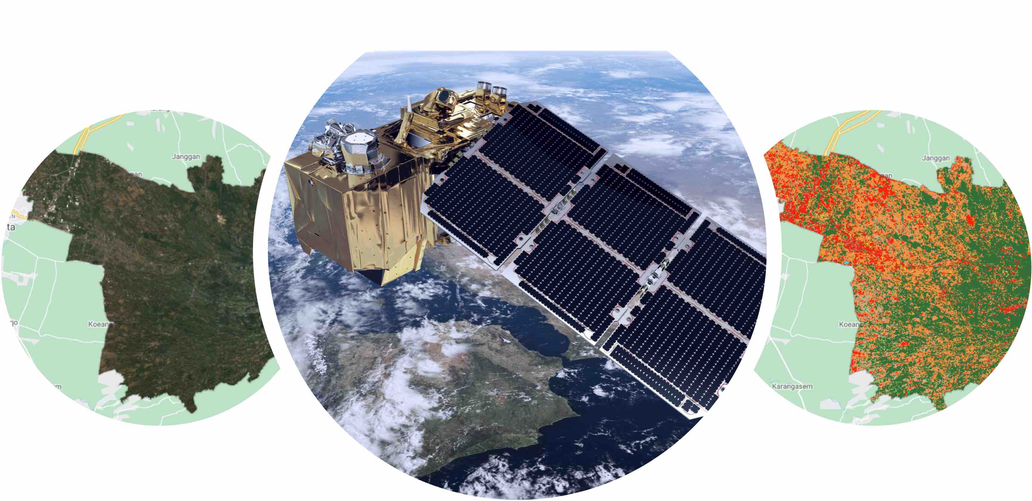
The growing development of satellite image data can be used to analyze land use in the region. This can be used as an indicator in seeing economic growth in a region. This system aims to analyze satellite image data automatically and calculate capital stock. From pixel analysis to intelligent calculation of statistics. to Better Knowledge of Statistics Calculations.
The main functions of this system are:
-
Data Labeling
-
Imagery
-
Modeling
-
Background Tasks